Your Cart is Empty

By: Chris Bagg
Length: 55.7 miles
Location: The Dalles, Oregon
Elevation gain: 5,400 feet
Paved/Unpaved: 40/60%
Link to GPS Route
Link to 43-mile, 4,400 foot version

When you leave the gravel for the last time at mile 49 on the classic Japanese Hollow route, with what feels like most of Oregon spread out below (rivers, orchards, fir and oak stands, and fields of wheat), you may be surprised that the ride is almost over. This 56-mile, 5,400 feet-of-elevation dream unfolds in novel and distinct sections, so regardless of how long it takes you (I covered the distance in a shade under four hours) you’ll feel more like you’ve ridden three or four discrete tracks, each with its own individual flavor or challenge: gradual paved climbs, steep gravel ramps (both up and down), fast and flowy descents, or upwind and downwind false-flats. The one consistent feature, though, especially on a quiet late-summer day, is abundant sun and dramatic views, Mt. Hood or Mt. Adams always standing at attention in the background. Is this the best route I’ve ever experienced? I found myself wondering as I descended back to my waiting car. Japanese Hollow has something for everyone, but almost everyone will appreciate all of its gifts. We’ve divided the route into its component sections, and, as always, here is a link to the route.

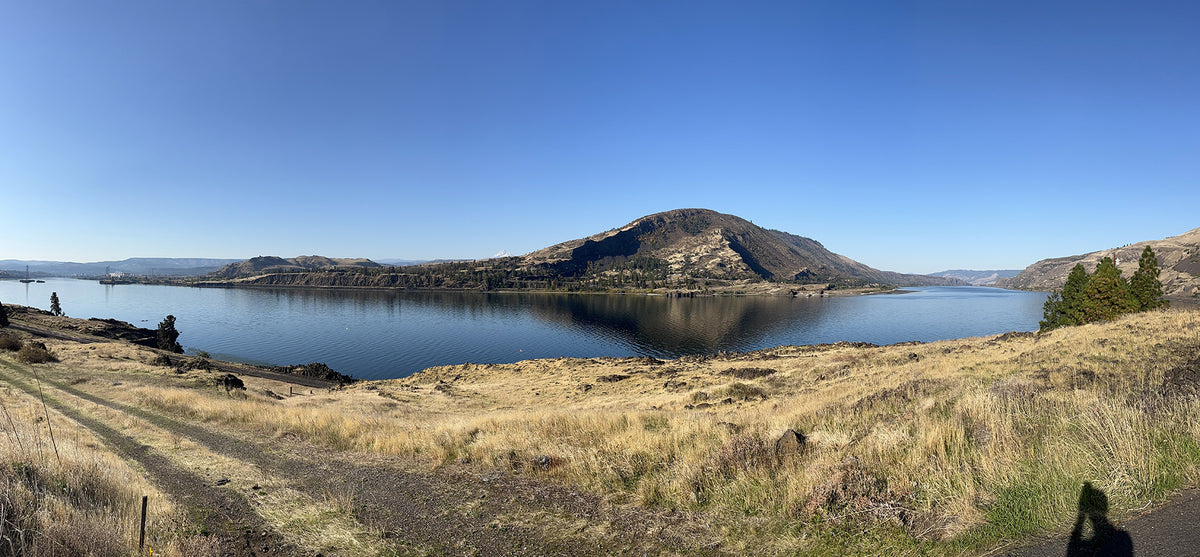
Japanese Hollow is best experienced from Sorosis Park, which any self-respecting wag could not resist re-naming Psoriasis Park, without any reflection on the park itself: it is a wide-open, sunny space with bathrooms and a frisbee golf course. Pack your discs and your, um, accessories for a post-ride round. Psoriasis Park stands high on a hill above The Dalles, granting sweeping views of the Columbia River below and Mt. Adams in the distance. The route is just under 56 miles long, with 5,400 feet of climbing. If you love categorized climbs, you’re looking at three category two climbs and one final category four. Your paved/unpaved ratio is 40/60, with most of the gravel of the beautiful Central Oregon gucci-gravel variety. I took my road bike with a 28 in the back and 25 in the front, but next time I’ll bring 30s, front and rear. Obviously you can do this ride with any width of tires, but I went skinny to see if it was doable. It was, but some of the loose descents would have been more fun with more traction. Something like the IRC Boken Plus 700 in a 32mm or Serac CX Edge TLR 32 would be perfect. You get what I’m laying down? 28-32, fast rolling, some side knob will be chef’s kiss out here.

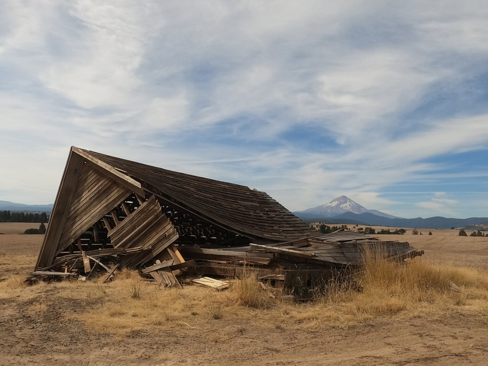
The Cascades, really, are one huge lava flow with a series of volcanoes (Hood, Jefferson, The Sisters, and Bachelor) getting all the attention, but those spigots sit on top of a plateau that formed in one big spasm of geology millions of years ago. That’s all pertinent because the first thing you do today (remember, geologic time does include now) is to climb up onto that plateau. After a fun, snaking descent from Psoriasis, you begin your first category two climb of the day: a 9-10 mile, ~2,000 foot ascent at 3-4%. The first few miles wind up through orchards, and then you’ll hit the gravel and pass into farmland and oak trees. You know you’re at the top when you pass a now-collapsed and long-abandoned farmhouse, Mt. Hood standing impassively in the distance to the south. The climb is gradual, not grinding, and your legs will be warm by the time you begin coasting down. You descend through some switchbacks to a section called Dutch Flat, where the landscape shifts from farm to forest. There isn’t much flat though here, and as soon as you bottom out the road angles upward once again.


As the name suggests, you have a little over a five mile rise to conquer next. The first four miles are gradual, averaging 3% and never going over six, but the last 1.5 miles provide the most strenuous miles of the day: 1.5 miles at 7% with maximum gradients of 12%. The forest sits heavy on the road here, and there isn’t much to look at, but during the hot months the shade is a welcome respite from the rest of the route. You have your steepest section right at the beginning of the 1.5 miles (it’s hard to miss), and then the course turns back on itself and rewards you with 15 miles of whooping half-dirt, half-paved joy. You come out of the woods back onto the open landscape, and your legs will quickly forgive you for the climbing you’ve put them through by this point.

Up until now you’ve been circling Japanese Hollow: above it to the west on the plateau and below it to the south during the previous descent. When the road hairpins at the bottom of the descent you’ll drag uphill for several paved miles, not noticing the ascent overmuch. Not long after hitting the gravel again, though, you’ll see signs for Japanese Hollow Road and Japanese Hollow Cutoff. The shorter versions of this ride use that cutoff, and this narrow valley is the ride’s eponymous feature. You tip upward in the final few miles of the climb (your third category two of the day, although you may not really notice the sting in your legs due to the abundant beauty), laboring up another 1.5 mile climb with 7-10% sections. You get five miles with an 1,000-foot drop as your reward, though, before starting the dessert course: a mere 1.5 mile climb at 5% with maximum gradients of 8%. As mentioned at the beginning of the description, you top out right at the point that the road goes back to gravel, a dramatic fish-eye view of orchard rows below you. The pavement here is smooth and beautiful, and you’ll coast back to The Dalles with your heart full.

Japanese Hollow has been a mainstay of Oregon riders for decades, but Our Mother the Mountain—a group of unpaved enthusiasts in the region—has been responsible for organizing and describing many of the great gravel routes of the Pacific Northwest. A feature of OMTM rides is usually a small sting in each ride’s tail, and their version of Japanese Hollow is no different. As you approach Psoriasis Park, the road you are on turns right but your bike computer will chirp at you to turn left. Don’t ignore that alert, as you have a fun little section of single-track ahead of you. The trail is short, and first forces you to climb a steep escarpment behind the local National Guard barracks. Once you tiny-ring it up there, though, you get a fun, flowy romp downhill through the oak trees and disc golf holes of the park, where you will finally feel the fatigue in your legs that four hours of happiness have, up until to this point, kept from notice.
Comments will be approved before showing up.
